Oman inaugurates e-navigational charts
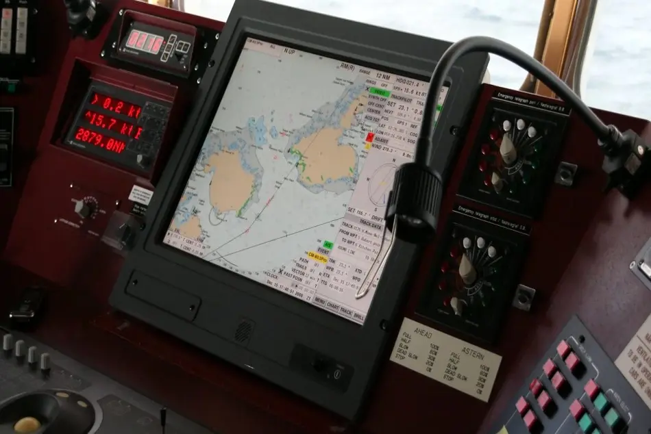
According to the Times of Oman, the National Hydrographic Office (NHO) of the Royal Navy of Oman (RNO) inaugurated the Omani e-navigational charts, following the development of digitalization in the shipping sector.

According to the Times of Oman, the National Hydrographic Office (NHO) of the Royal Navy of Oman (RNO) inaugurated the Omani e-navigational charts, following the development of digitalization in the shipping sector.
Specifically, the Omani e-navigational charts were prepared by Omani technical cadres at NHO in order to keep pace with the electronic transformation in navigational chart system and as part of the Sultanate’s plans and commitment as a member of the International Maritime Organization (IMO).
Moreover, the NHO is the one responsible for the production and follow-up of quality control, correction and updating of e-navigational charts in a way that improves navigational safety in Omani waters.
The update of the charts is being conducted in collaboration with the International Centre for E-Navigational Charts (IC-ENC) in the United Kingdom, which undertakes the task of publishing and marketing e-charts on a global level.
It is commented that the charts are a giant leap towards automation in the shipping sector, while vessels sailing in the Omani waters will be able to use the charts whether in their shipping lines or while entering the Omani ports.


